City of Quincy Welcome Center - 1259 Hancock Street Quincy, MA, 02169 Phone: 617-471-1700
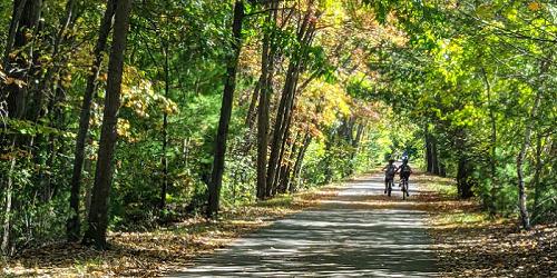
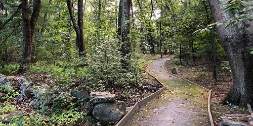
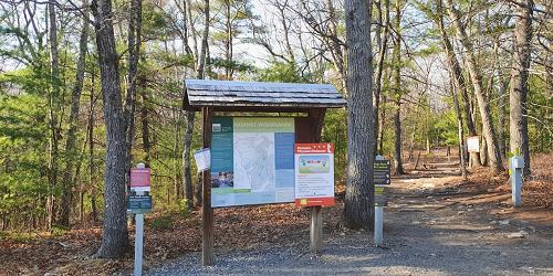
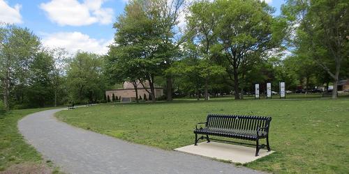
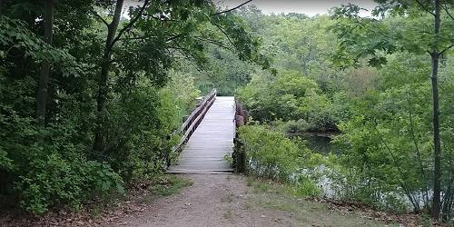
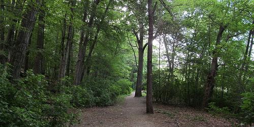
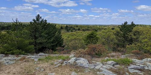
Walkable Quincy offers trails that improve your health, educate you and provide phenomenal views
84 Kendrick Street Needham, MA, 02494 Phone: 617-698-1802
191w Atlantic Avenue Boston, MA, 02109 Phone: 617-223-8666
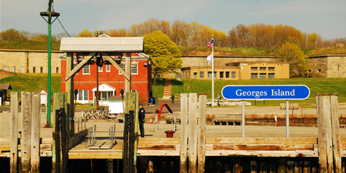
Islands in Boston Harbor, and easy ferry ride from downtown. Swimming, hiking, picnicking. A fun day trip
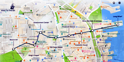
Beacon Hill to Long Wharf Boston, MA Phone:
162 West Union Street Ashland, MA, 01721 Phone: 508 881-4092
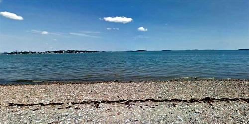
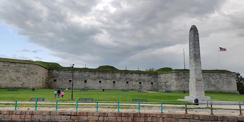
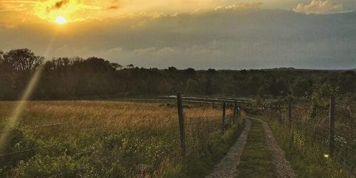
Quincy Shore Drive Quincy, MA, 02169 Phone: 617-727-5290
Stearns Street Carlisle, MA, 01741 Phone: 978-840-4446
Mill Street Waltham, MA, 02478 Phone: 617-727-5290
Adams Street Milton, MA, 02186 Phone: 781-821-2977

Omni Parker House - 60 School Street Boston, MA, 02108 Phone: 617-350-0358
A tour for everyone who loves history, good books, and beautiful settings. Discover the homes, gathering places, and landscapes of America's most beloved authors on a guided tour, or on your own with the Self-Guided Tour Package. Travel from Boston to Cambridge and Concord and visit sites such as Walden Pond, Longfellow House, Concord Museum, and Orchard House. Tours depart from the Omni Parker House the second Saturday of the month, beginning August.
2010 Day Blvd. South Boston, MA, 02127 Phone: 617-727-5290
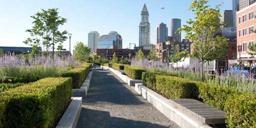
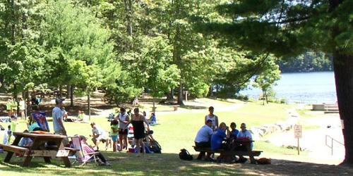
Bayside string of parks and beaches easily accessible to Boston; walking, swimming, fishing
Dedham Street Dover, MA, 02030 Phone: 781-821-2977
280 Eliot Street Natick, MA, 01760 Phone: 508-655-2296
Turkey Hill Lane Hingham, MA, 02043 Phone: 781-740-7233
108 North Street Norfolk, MA, 02056 Phone: 508-528-3140
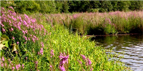
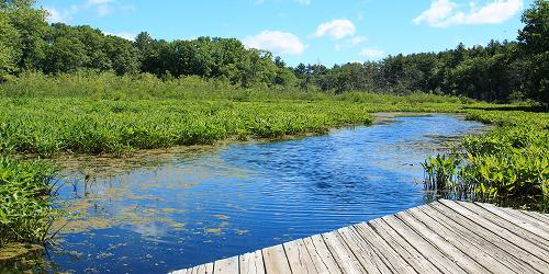
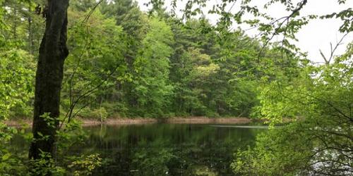
This nature center includes a self-guided hiking trail. An extensive boardwalk system helps visitors explore Teal Marsh and its wildlife. The Nature Center is currently closed for construction, but nature trails are still open to the public. Currently taking registrations for Summer Nature Camp.
Woodridge Street Medfield, MA, 02052 Phone: 508-785-0339
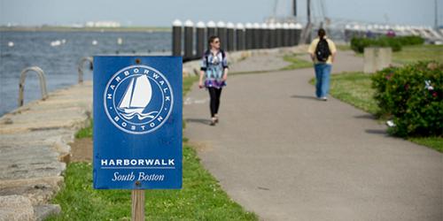
Walk starts at Old State House, 206 Washington Street Boston, MA Phone: 617-482-1722
A self-guided walk that traces the history of the Boston waterfront. The tour begins at the Old State House, brochures are available at the National Park Service Visitor's Center on State Street.
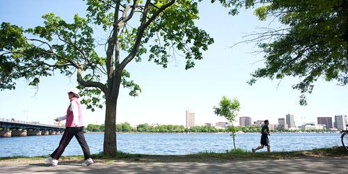
Series of parks and green spaces along Mystic River; accessible by MBTA trains; walking, biking, picnicking, swimming
307 Main Street Easton, MA, 02356 Phone: 508-238-6049
1904 Canton Avenue Milton, MA, 02186 Phone: 617-333-0690
Hartford Street Medfield, MA, 02052 Phone: 508-785-0339
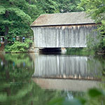
Just 30 minutes from downtown Boston
Turtle Pond Parkway Hyde Park, MA, 02136 Phone: 617-333-7404
Sunfish and Perch await anglers in Turtle Pond at this 475-acre park and wildlife refuge, featuring fishing areas, biking and hiking trails, public swimming, and picnic areas. Programs are scheduled throughout the year.
Hammond Pond Parkway Chestnut Hill, MA, 02467 Phone: 617-333-7404
Route 3A at Howes Lane Cohasset & Hingham, MA Phone: 781-740-7233
Noon Hill Road Medfield, MA, 02052 Phone: 508-785-0339
Hartford Street Medfield, MA, 02052 Phone: 508-785-0339
121 Causeway Street Medfield, MA, 02052 Phone: 508-785-0339
250 Martin’s Lane Hingham, MA, 02043 Phone: 781-740-6665
Farm Road Dover, MA, 02492 Phone: 508-785-0339