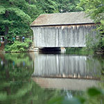
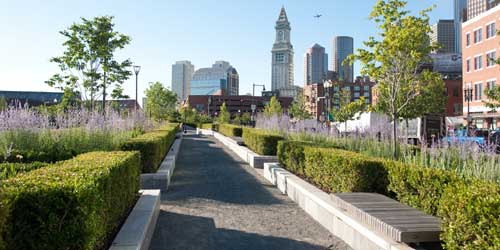
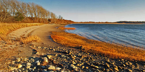
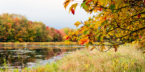
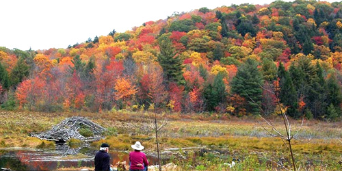
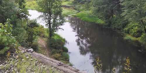
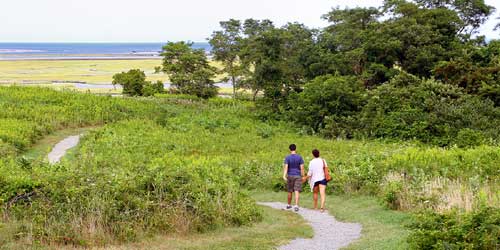
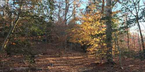
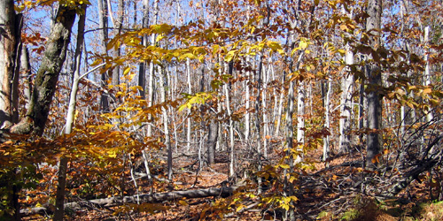
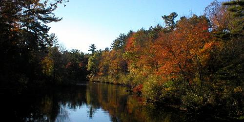
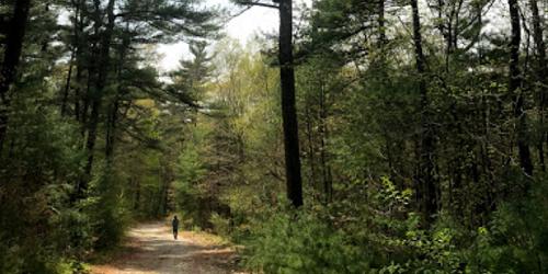
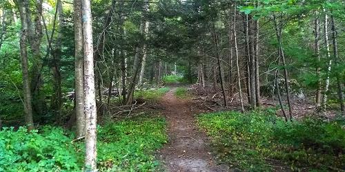
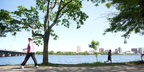
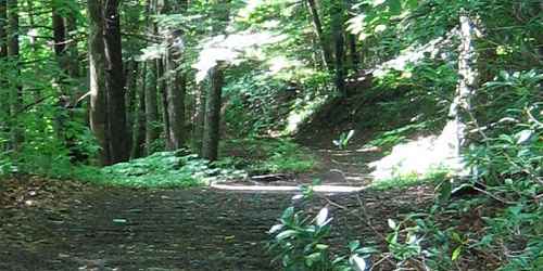
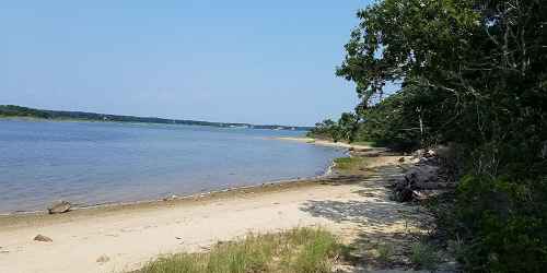
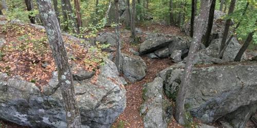
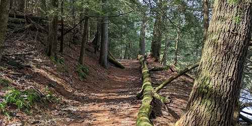
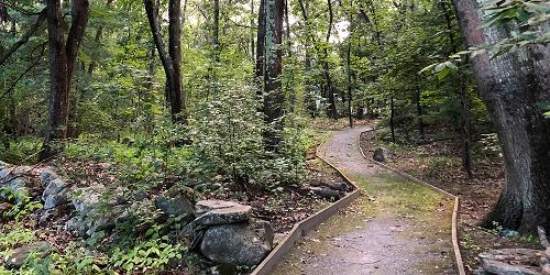
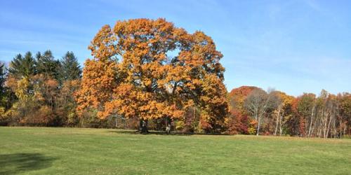
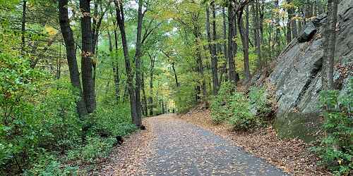
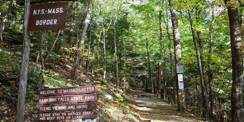
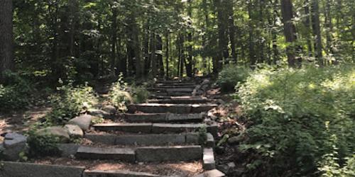
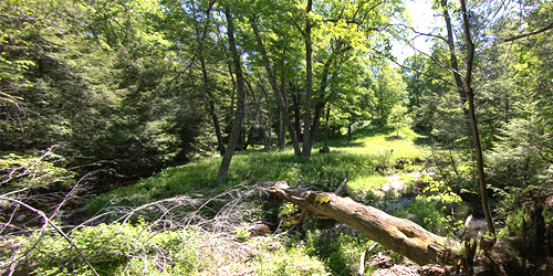
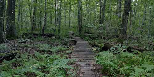
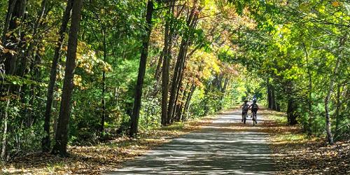
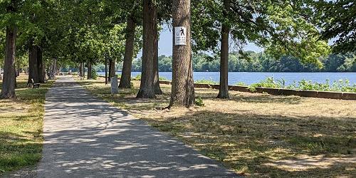
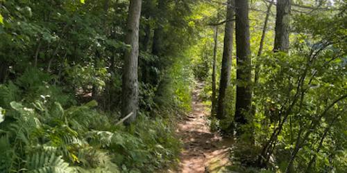
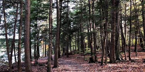
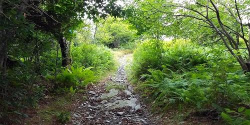
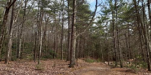
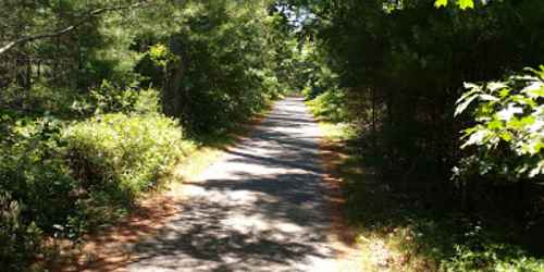
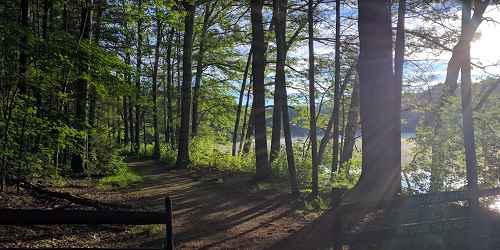
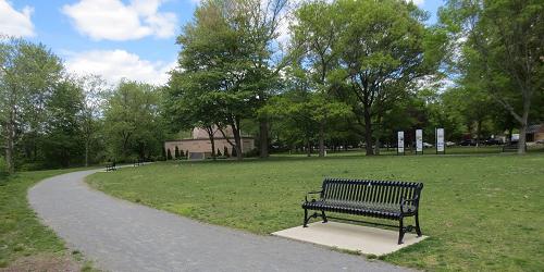
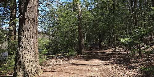
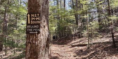
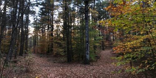
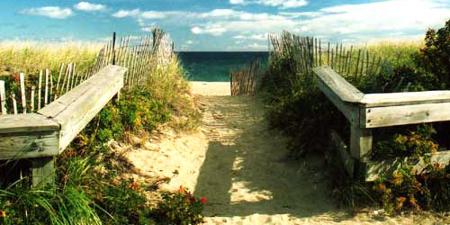
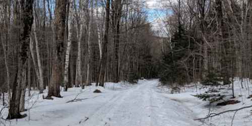
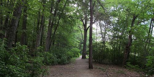
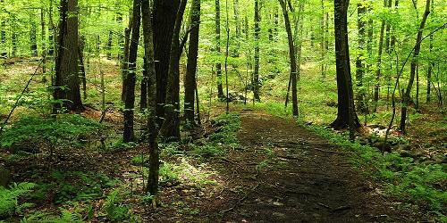
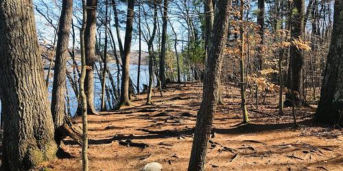
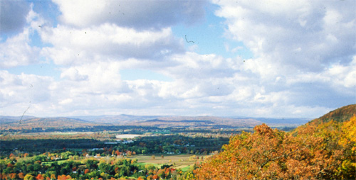
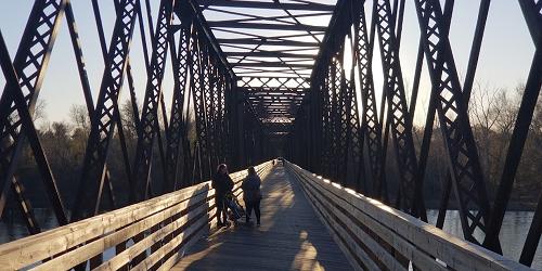
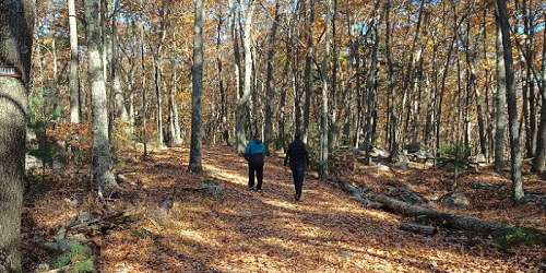
From a cabin in the woods,, Henry David Thoreau expounded on the virtues and health benefits of walking. Here you’ll find miles of paved, lighted, unpaved, sun-drenched and shaded trails for every age, ability, and destination in mind. In charming cities and quaint towns, on beaches and in the pastoral countryside, come and discover historic battlefields and streets where patriots and presidents walked. Explore parks, woodland and wildlife areas, old railroad beds, carriage roads, farms, meadows and cranberry bogs. Travel urban paths, greenways, and riverbeds. Climb ridges along the Mohawk and Appalachian trails and stroll luscious valleys. After your walk, loosen those muscles at a luscious spa.

1 Old Sturbridge Village Road, off Route 20 Sturbridge, MA, 01566 Phone: 508-347-3362 Toll-Free: 800-733-1830
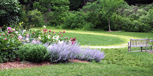
Nature is celebrated in historical village’s scenic walks past rivers, pastures, gardens and woodlands

City of Quincy Welcome Center - 1259 Hancock Street Quincy, MA, 02169 Phone: 617-471-1700
Walkable Quincy offers trails that improve your health, educate you and provide phenomenal views
Headquarters, 6 Plum Island Tpk. Newburyport, MA Phone: 978-465-5753
32 Mill Road Acushnet, MA Phone: 508-999-6363
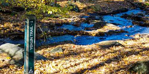
Off Long Point Road West Tisbury (on the island of Martha's Vineyard), MA Phone: 508-693-7662
Fern Road Tyringham, MA Phone: 413-298-3239
Hiking, birding, picnicking
84 Kendrick Street Needham, MA, 02494 Phone: 617-698-1802

Quinaquisset Avenue and Meetinghouse Road Mashpee, MA Phone: 508-679-2115
Mason Street Williamstown, MA Phone: 413-458-3144
143 East Street Mount Washington, MA Phone: 413-528-0330
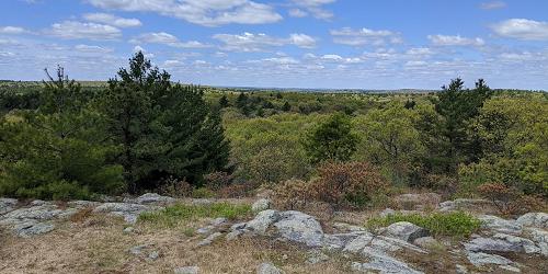
Good for scenery and vista-viewing; free access; pets permitted.
915 Walden Street Concord and Lincoln, MA Phone: 978-369-3254
former Bousquet ski area, 101 Dan Fox Drive Pittsfield, MA Phone:
2 Taylor Road Acton, MA Phone:
135 Olean Street Worcester, MA Phone:
Prospect Street Shrewsbury, MA Phone: 508-841-8503
191w Atlantic Avenue Boston, MA, 02109 Phone: 617-223-8666
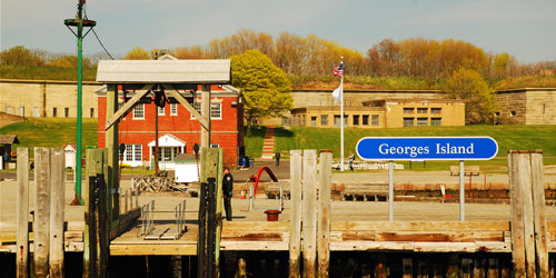
Islands in Boston Harbor, and easy ferry ride from downtown. Swimming, hiking, picnicking. A fun day trip
off Leadmine Road Sturbridge, MA Phone:
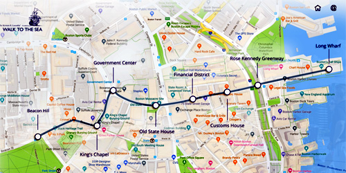
Beacon Hill to Long Wharf Boston, MA Phone:
Trailheads: US 20, near West Old Sturbridge Road in Brimfield and Westville Dam at Marjorie Lane in Southbridge Brimfield and Southbridge, MA Phone:
Route 101 Phillipston, MA Phone: 978-840-4446
Mill Street Waltham, MA, 02478 Phone: 617-727-5290
George Hill Road Lancaster, MA Phone: 978-840-4446
Dedham Street Dover, MA, 02030 Phone: 781-821-2977
69 Blue Hill Road Monterey, MA, 01245 Phone: 413-528-0904
86 Winchendon Road Baldwinville, MA, 01436 Phone: 508-939-8962
100 Winsor Dam Road Belchertown, MA, 01007 Phone: 413-323-7221
198 Purgatory Road Sutton, MA Phone: 508-234-3733
Neilson Road New Salem, MA Phone: 978-840-4446
Various Locations Chatham to Provincetown, MA Phone: 508-255-3421
108 North Street Norfolk, MA, 02056 Phone: 508-528-3140
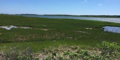
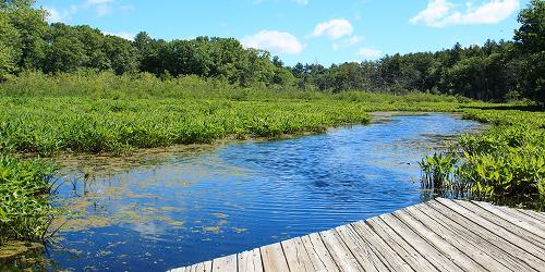
This nature center includes a self-guided hiking trail. An extensive boardwalk system helps visitors explore Teal Marsh and its wildlife. The Nature Center is currently closed for construction, but nature trails are still open to the public. Currently taking registrations for Summer Nature Camp.
428 North Street Feeding Hills, MA, 01030 Phone: 413-786-2877
South Sandwich Road Mashpee, MA, 02649 Phone: 508-636-4693
3 Old Route 9 Windsor, MA Phone: 413-684-0148
40 Asbury Street Topsfield, MA, 01983 Phone: 508-887-5931
110 Slab Bridge Road Assonet, MA, 02702 Phone: 508-644-5522
New Marlborough Hill Road New Marlborough, MA Phone: 413-298-3239
A seventeen-acre upland field of native meadow wildflowers attracts a variety of dragonflies and butterflies
250 Martin’s Lane Hingham, MA, 02043 Phone: 781-740-6665
545 East Street Mount Washington, MA, 01258 Phone: 413-528-0330

Turkey Hill Lane Hingham, MA, 02043 Phone: 781-740-7233

74 Curzon Mill Road Newburyport, MA, 01950 Phone: 978-465-7223
Route 1A Ipswich, MA, 01938 Phone: 978-356-5728
Gott Avenue Rockport, MA, 01966 Phone: 508-546-2997
Wauwinet Road Wauwinet (on the island of Nantucket), MA, 02554 Phone: 508-228-5646
Turtle Pond Parkway Hyde Park, MA, 02136 Phone: 617-333-7404
Sunfish and Perch await anglers in Turtle Pond at this 475-acre park and wildlife refuge, featuring fishing areas, biking and hiking trails, public swimming, and picnic areas. Programs are scheduled throughout the year.
Sloan Road Williamstown, MA Phone: 413-458-3144
Horseneck Road Dartmouth, MA Phone: 781-821-2977
204 Union Street Hingham, MA, 02043 Phone: 617-895-8245
Good for camping, fishing, hiking, and walking
end of Katama Road Edgartown (on Martha's Vineyard), MA Phone: 508-627-7689
Old North Road (Harmon Road) New Marlborough, MA, 01230 Phone: 413-298-3239
121 Causeway Street Medfield, MA, 02052 Phone: 508-785-0339
289 Pearl Street Gardner, MA, 01440 Phone: 508-632-7897
Petticoat Hill Road Williamsburg, MA Phone: 413-684-0148
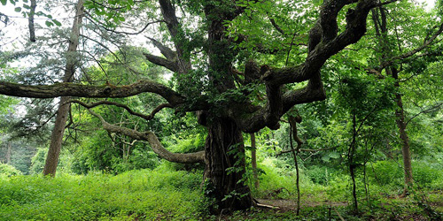
Spend some time in this century old forest
Island Road Essex, MA, 01929 Phone: 978-526-8687

30 Rockwell Road Lanesborough, MA, 01237 Phone: 413-499-4262

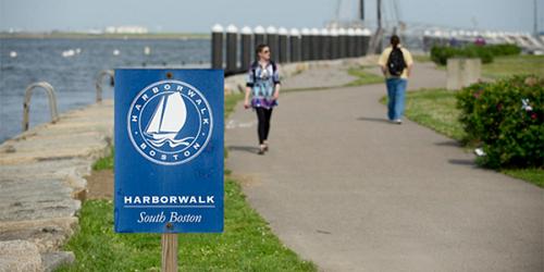
2010 Day Blvd. South Boston, MA, 02127 Phone: 617-727-5290
Bayside string of parks and beaches easily accessible to Boston; walking, swimming, fishing
20 Chester Road Chester, MA, 01008 Phone: 413-354-6347
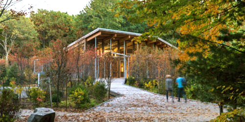
100 Felix Neck Drive Edgartown, MA, 02539 Phone: 508-627-4850
131 Waquoit Highway Waquoit (East Falmouth), MA Phone: 508-457-0495
Noon Hill Road Medfield, MA, 02052 Phone: 508-785-0339
Hawley Road Ashfield, MA Phone: 413-684-0148
86 Dearth Hill Road Brimfield, MA, 01010 Phone: 413-267-9687
Stearns Street Carlisle, MA, 01741 Phone: 978-840-4446
Walk starts at Old State House, 206 Washington Street Boston, MA Phone: 617-482-1722
A self-guided walk that traces the history of the Boston waterfront. The tour begins at the Old State House, brochures are available at the National Park Service Visitor's Center on State Street.
125 Reservation Road Holyoke, MA, 01040 Phone: 413-534-1186
208 South Great Road Lincoln, MA, 01773 Phone: 617-259-2200
Nichewaug Road Petersham, MA Phone: 978-840-4446
Adams Street Milton, MA, 02186 Phone: 781-821-2977
1041 Cascade Street Pittsfield, MA, 01201 Phone: 413-442-8992
Good for handicap-accessible recreation, fishing, walking & hiking.
Farm Road Dover, MA, 02492 Phone: 508-785-0339
508 Canaan Road - Route 295 Richmond, MA, 01254 Phone: 413-344-6817 Toll-Free: 800-833-6274
177 Forest Street Saugus, MA, 01906 Phone: 781-233-0834
Falls Road Mount Washington, MA, 01258 Phone: 413-528-0330
Indian Hill Road Vineyard Haven, MA, 02568 Phone: 508-693-5207
1861 State Road - MA Route 3A Plymouth, MA, 02360 Phone: 508-866-2580
1904 Canton Avenue Milton, MA, 02186 Phone: 617-333-0690
Route 9 West Brookfield, MA Phone: 978-840-4446
793 Main Street Hampden, MA, 01036 Phone: 413-584-3009
107 Wallum Lake Road Douglas, MA, 01516 Phone: 508-476-7872
Prospect Road North Andover, MA, 01845 Phone: 978-682-3580
Butler Road Monson, MA Phone: 978-840-4446
Summer Street (Route 127) Manchester-by-the-Sea, MA, 01944 Phone: 978-356-4351
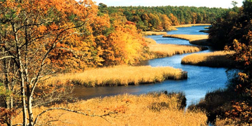
Parker River Wildlife Refuge, Refuge Road Ipswich, MA Phone: 508-462-4481
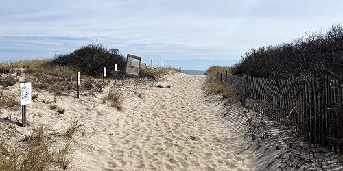
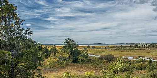
Beautiful barrier island and ocean beach for walking, birdwatching
175 Mohawk Trail (MA Route 2) Charlemont, MA, 01339 Phone: 413-339-5504
Route 68 Royalston, MA Phone: 978-840-4446
Get back in touch with nature
Great Woods and Penny Brook Roads Lynn, MA Phone: 617-593-7773

127 Combs Road Easthampton, MA, 01027 Phone: 413-584-3009
133 Jenkins Road Andover, MA, 01810 Phone: 508-686-3391
MA Route 8A Hawley, MA, 01339 Phone: 413-339-5504
Off Route 41 Sheffield, MA Phone:
160 Pawtucket Boulevard Lowell, MA, 01854 Phone: 978-458-8750
1199 Middle Road Clarksburg, MA, 01247 Phone: 413-664-8345
Lindell Avenue Leominster, MA Phone: 978-840-4446
4 Woodland Road Stoneham, MA, 02180 Phone: 617-727-1199
78 Cape Street - MA Route 112 Goshen, MA, 01032 Phone: 413-268-7098
Salem Sound Salem, MA, 01970 Phone: 978-526-8687
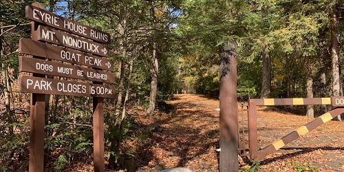
Ruins of a turn-of-the-century summer colony...
301 Brown Avenue Seekonk, MA, 02771 Phone: 508-761-8230

6 Discovery Hill Road East Sandwich, MA, 02537 Phone: 508-888-6870
430 Potomska Road South Dartmouth, MA Phone: 508-990-0505
East Street Petersham, MA Phone: 978-840-4446
Dike Road - on Chappaquiddick Island Edgartown, MA, 02539 Phone: 508-627-7689
New Liberty and Essex Salem, MA Phone: 508-740-1650
Visitor Center, 6 Plum Island Tpk. Newburyport, MA Phone: 978-465-5753
56 Highfield Drive Falmouth, MA Phone: 508-495-1878
317 Woodland Road Lee, MA, 01238 Phone: 413-243-1778
trailhead is opposite 25 Doane Hill Road Royalston, MA Phone:
87 Perkins Row Topsfield, MA, 01983 Phone: 978-887-9264
90 Fitchburg Road - Route 31 Leominster, MA, 01420 Phone: 508-874-2303

Omni Parker House - 60 School Street Boston, MA, 02108 Phone: 617-350-0358
A tour for everyone who loves history, good books, and beautiful settings. Discover the homes, gathering places, and landscapes of America's most beloved authors on a guided tour, or on your own with the Self-Guided Tour Package. Travel from Boston to Cambridge and Concord and visit sites such as Walden Pond, Longfellow House, Concord Museum, and Orchard House. Tours depart from the Omni Parker House the second Saturday of the month, beginning August.
Begins at Elwell State Park, Damon Road Northampton, Hadley, & Amherst, MA Phone: 413-586-8706
Barnes Road Edgartown, MA, 02539 Phone: 508-693-2540
159 Walker Pond Road Sturbridge, MA, 01566 Phone: 508-347-9257
280 Eliot Street Natick, MA, 01760 Phone: 508-655-2296
Jacobs Lane Norwell, MA Phone: 617-659-2559
Series of parks and green spaces along Mystic River; accessible by MBTA trains; walking, biking, picnicking, swimming

13 Gott Avenue Rockport, MA, 01966 Phone: 978-526-8687
Argilla Road Ipswich, MA Phone: 508-356-4351
570 Burnett Road Chicopee, MA, 01020 Phone: 413-594-9416
78 Winchester Road Warwick, MA, 01378 Phone: 978-544-3939
River Road Chesterfield, MA, 01012 Phone: 413-532-1631
Route 3A at Howes Lane Cohasset & Hingham, MA Phone: 781-740-7233
1 Beach Road - Route 1A Salisbury, MA, 01952 Phone: 508-462-4481
Clark Wright Road Middlefield, MA Phone: 413-684-0148
York Lake Road Sandisfield, MA, 01255 Phone: 413-229-8212
Union Street Marshfield, MA Phone: 781-821-2977
Williamsburg Road Ashfield, MA, 01330 Phone: 413-684-0148
Hartford Street Medfield, MA, 02052 Phone: 508-785-0339
Just 30 minutes from downtown Boston
260 Central Shaft Road Florida, MA, 01247 Phone: 413-663-8469
Hammond Pond Parkway Chestnut Hill, MA, 02467 Phone: 617-333-7404
Weatogue Road, Ashley Falls Sheffield, MA Phone: 413-229-8600
Woodridge Street Medfield, MA, 02052 Phone: 508-785-0339
30 Peck Road Wales, MA, 01081 Phone: 413-245-1264
307 Main Street Easton, MA, 02356 Phone: 508-238-6049
Route 41 Hadley, MA Phone: 413-586-0350
North Road, Chilmark Martha’s Vineyard, MA Phone: 508-693-3678
Route 7 Great Barrington, MA Phone: 413-298-3239
291 US Route 6 at West Road South Wellfleet, MA, 02663 Phone: 508-349-2615
Hartford Street Medfield, MA, 02052 Phone: 508-785-0339
Falls Road Royalston, MA Phone: 978-840-4446
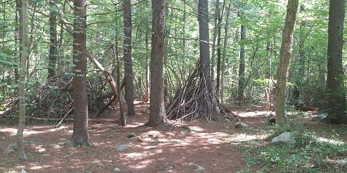
Concealed within a dense forest
Route 6 North near Snail Road Provincetown, MA Phone:
Quincy Shore Drive Quincy, MA, 02169 Phone: 617-727-5290
Stevens Street North Andover, MA, 01845 Phone: 978-682-3580
Route 116 South Deerfield, MA Phone: 413-545-5993
194 Cranberry Road Carver, MA, 02330 Phone: 508-866-2526
162 West Union Street Ashland, MA, 01721 Phone: 508 881-4092
345 Mountain Road Princeton, MA Phone: 508-464-2987
136 Damon Road Northampton, MA, 01060 Phone: 413-586-8706
Dresser Avenue and River Street Great Barrington, MA Phone:
Main Street Petersham, MA Phone: 978-840-4446
Tilda Hill Road Monroe, MA Phone: 413-339-5504
Jerusalem Road Tyringham, MA Phone: 413-298-3239
Jug End Road Egremont, MA, 01258 Phone: 413-528-0330
West Street Petersham, MA, 01355 Phone: 978-544-3939
164 Cedar Street Hopkinton, MA, 01748 Phone: 508-435-4303
472 West Mountain Road Lenox, MA, 01240 Phone: 413-637-0320