37 Corey Road -- Route 43 Hancock, MA, 01237 Phone: 413-738-5500 Toll-Free: 800-882-8859
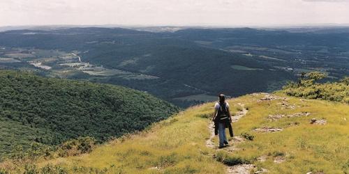
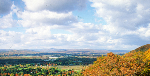
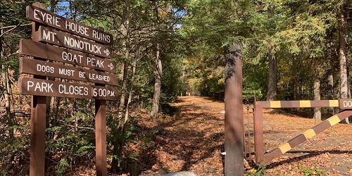
Hike up to a mountain summit or walk a trail network: two great options at full-service resort
143 East Street Mount Washington, MA Phone: 413-528-0330
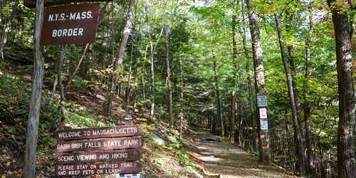
Good for scenery and vista-viewing; free access; pets permitted.
Fern Road Tyringham, MA Phone: 413-298-3239
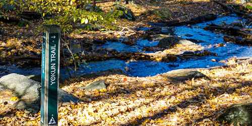
Hiking, birding, picnicking
Mason Street Williamstown, MA Phone: 413-458-3144
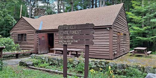
former Bousquet ski area, 101 Dan Fox Drive Pittsfield, MA Phone:
Route 7 Great Barrington, MA Phone: 413-298-3239
New Marlborough Hill Road New Marlborough, MA Phone: 413-298-3239
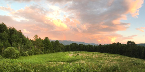
A seventeen-acre upland field of native meadow wildflowers attracts a variety of dragonflies and butterflies
Falls Road Mount Washington, MA, 01258 Phone: 413-528-0330
175 Mohawk Trail (MA Route 2) Charlemont, MA, 01339 Phone: 413-339-5504
River Road Chesterfield, MA, 01012 Phone: 413-532-1631
317 Woodland Road Lee, MA, 01238 Phone: 413-243-1778
Petticoat Hill Road Williamsburg, MA Phone: 413-684-0148
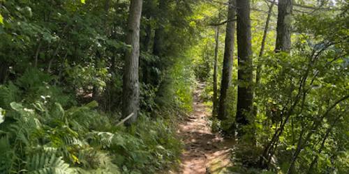
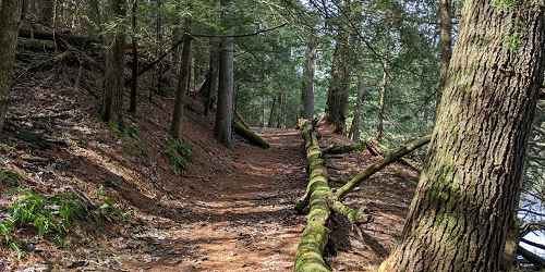
Spend some time in this century old forest
545 East Street Mount Washington, MA, 01258 Phone: 413-528-0330
1041 Cascade Street Pittsfield, MA, 01201 Phone: 413-442-8992
Good for handicap-accessible recreation, fishing, walking & hiking.
260 Central Shaft Road Florida, MA, 01247 Phone: 413-663-8469
MA Route 8A Hawley, MA, 01339 Phone: 413-339-5504

30 Rockwell Road Lanesborough, MA, 01237 Phone: 413-499-4262
Tilda Hill Road Monroe, MA Phone: 413-339-5504
Begins at Elwell State Park, Damon Road Northampton, Hadley, & Amherst, MA Phone: 413-586-8706
69 Blue Hill Road Monterey, MA, 01245 Phone: 413-528-0904
York Lake Road Sandisfield, MA, 01255 Phone: 413-229-8212
793 Main Street Hampden, MA, 01036 Phone: 413-584-3009
78 Cape Street - MA Route 112 Goshen, MA, 01032 Phone: 413-268-7098
Williamsburg Road Ashfield, MA, 01330 Phone: 413-684-0148
Clark Wright Road Middlefield, MA Phone: 413-684-0148
Dresser Avenue and River Street Great Barrington, MA Phone:
136 Damon Road Northampton, MA, 01060 Phone: 413-586-8706

127 Combs Road Easthampton, MA, 01027 Phone: 413-584-3009
78 Winchester Road Warwick, MA, 01378 Phone: 978-544-3939
Route 116 South Deerfield, MA Phone: 413-545-5993
472 West Mountain Road Lenox, MA, 01240 Phone: 413-637-0320
Weatogue Road, Ashley Falls Sheffield, MA Phone: 413-229-8600
Old North Road (Harmon Road) New Marlborough, MA, 01230 Phone: 413-298-3239
Jerusalem Road Tyringham, MA Phone: 413-298-3239
1199 Middle Road Clarksburg, MA, 01247 Phone: 413-664-8345
86 Dearth Hill Road Brimfield, MA, 01010 Phone: 413-267-9687
508 Canaan Road - Route 295 Richmond, MA, 01254 Phone: 413-344-6817 Toll-Free: 800-833-6274
Sloan Road Williamstown, MA Phone: 413-458-3144
30 Peck Road Wales, MA, 01081 Phone: 413-245-1264
428 North Street Feeding Hills, MA, 01030 Phone: 413-786-2877
Off Route 41 Sheffield, MA Phone:
20 Chester Road Chester, MA, 01008 Phone: 413-354-6347
570 Burnett Road Chicopee, MA, 01020 Phone: 413-594-9416
Jug End Road Egremont, MA, 01258 Phone: 413-528-0330
Route 41 Hadley, MA Phone: 413-586-0350
3 Old Route 9 Windsor, MA Phone: 413-684-0148
Hawley Road Ashfield, MA Phone: 413-684-0148
125 Reservation Road Holyoke, MA, 01040 Phone: 413-534-1186