
1 Old Sturbridge Village Road, off Route 20 Sturbridge, MA, 01566 Phone: 508-347-3362 Toll-Free: 800-733-1830
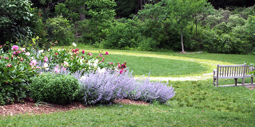
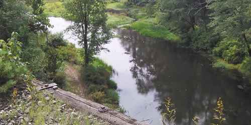
Nature is celebrated in historical village’s scenic walks past rivers, pastures, gardens and woodlands
2 Taylor Road Acton, MA Phone:
off Leadmine Road Sturbridge, MA Phone:
Trailheads: US 20, near West Old Sturbridge Road in Brimfield and Westville Dam at Marjorie Lane in Southbridge Brimfield and Southbridge, MA Phone:
Prospect Street Shrewsbury, MA Phone: 508-841-8503
135 Olean Street Worcester, MA Phone:
86 Winchendon Road Baldwinville, MA, 01436 Phone: 508-939-8962
107 Wallum Lake Road Douglas, MA, 01516 Phone: 508-476-7872
Lindell Avenue Leominster, MA Phone: 978-840-4446
Main Street Petersham, MA Phone: 978-840-4446
289 Pearl Street Gardner, MA, 01440 Phone: 508-632-7897
164 Cedar Street Hopkinton, MA, 01748 Phone: 508-435-4303
90 Fitchburg Road - Route 31 Leominster, MA, 01420 Phone: 508-874-2303
Falls Road Royalston, MA Phone: 978-840-4446
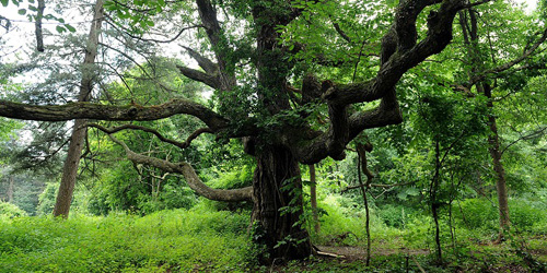
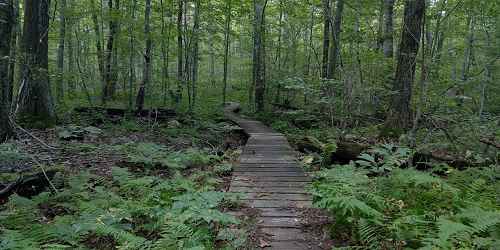
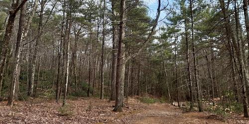
Concealed within a dense forest
West Street Petersham, MA, 01355 Phone: 978-544-3939
198 Purgatory Road Sutton, MA Phone: 508-234-3733
George Hill Road Lancaster, MA Phone: 978-840-4446
Route 68 Royalston, MA Phone: 978-840-4446
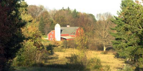
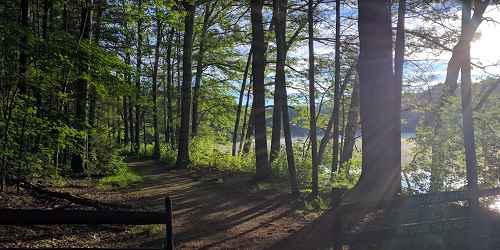
Get back in touch with nature
Route 9 West Brookfield, MA Phone: 978-840-4446
trailhead is opposite 25 Doane Hill Road Royalston, MA Phone:
East Street Petersham, MA Phone: 978-840-4446
345 Mountain Road Princeton, MA Phone: 508-464-2987
159 Walker Pond Road Sturbridge, MA, 01566 Phone: 508-347-9257
Route 101 Phillipston, MA Phone: 978-840-4446
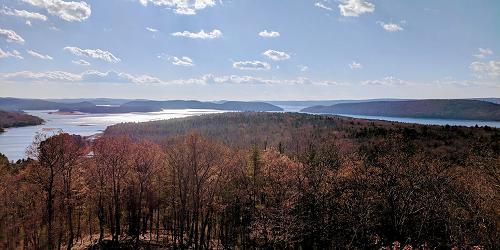
100 Winsor Dam Road Belchertown, MA, 01007 Phone: 413-323-7221
Butler Road Monson, MA Phone: 978-840-4446
Nichewaug Road Petersham, MA Phone: 978-840-4446
For special offers and great New England travel tips subscribe today.