545 East Street Mount Washington, MA, 01258 Phone: 413-528-0330
20 Chester Road Chester, MA, 01008 Phone: 413-354-6347
69 Blue Hill Road Monterey, MA, 01245 Phone: 413-528-0904
410 Tolland Road East Otis, MA, 01029 Phone: 413-269-6002
1048 North Road Westfield, MA, 01085 Phone: 413-532-3985
1199 Middle Road Clarksburg, MA, 01247 Phone: 413-664-8345
317 Woodland Road Lee, MA, 01238 Phone: 413-243-1778
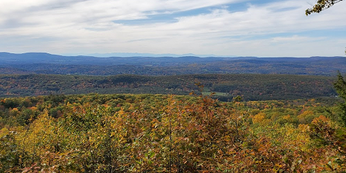
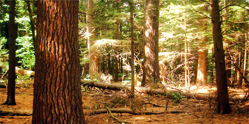
York Lake Road Sandisfield, MA, 01255 Phone: 413-229-8212
392 Montague Road Wendell, MA, 01379 Phone: 413-659-3797

78 Cape Street - MA Route 112 Goshen, MA, 01032 Phone: 413-268-7098
86 Dearth Hill Road Brimfield, MA, 01010 Phone: 413-267-9687
Route 112 Huntington, MA, 01050 Phone: 413-354-6347
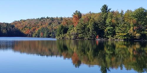
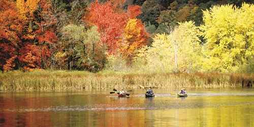
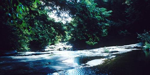
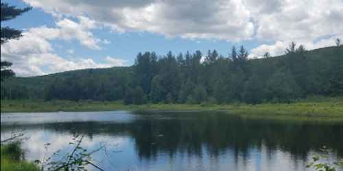
Good for paddling, hiking & walking; fishing; pets allowed except on beach area
McCauley Road, off Route 8 North Adams, MA, 01247 Phone: 413-663-6392
136 Damon Road Northampton, MA, 01060 Phone: 413-586-8706

30 Rockwell Road Lanesborough, MA, 01237 Phone: 413-499-4262
570 Burnett Road Chicopee, MA, 01020 Phone: 413-594-9416
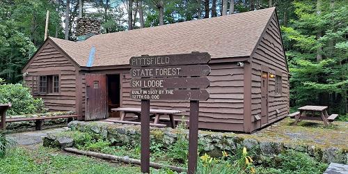
1041 Cascade Street Pittsfield, MA, 01201 Phone: 413-442-8992
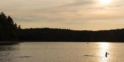
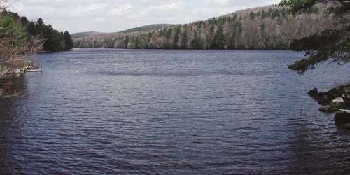
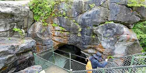
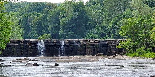
Good for handicap-accessible recreation, fishing, walking & hiking.
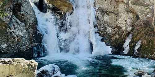
Falls Road Mount Washington, MA, 01258 Phone: 413-528-0330
260 Central Shaft Road Florida, MA, 01247 Phone: 413-663-8469
428 North Street Feeding Hills, MA, 01030 Phone: 413-786-2877
175 Mohawk Trail (MA Route 2) Charlemont, MA, 01339 Phone: 413-339-5504