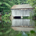
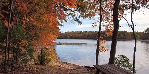
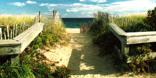
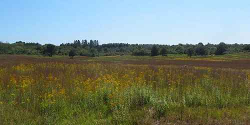
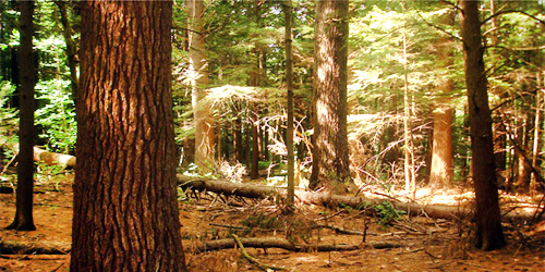
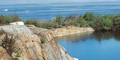
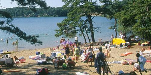
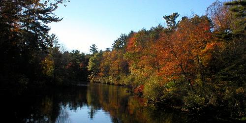
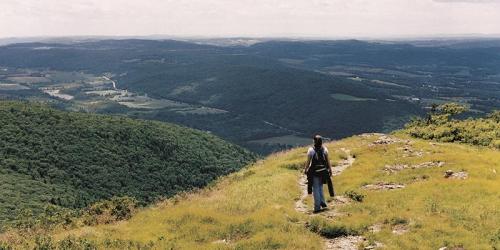
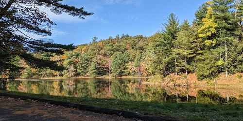
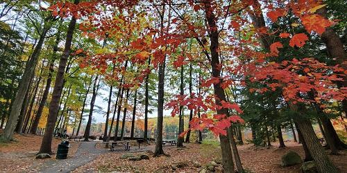
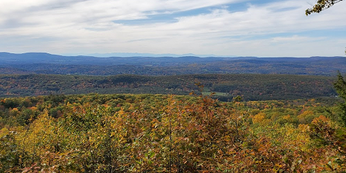
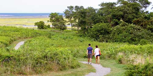
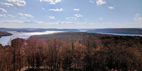
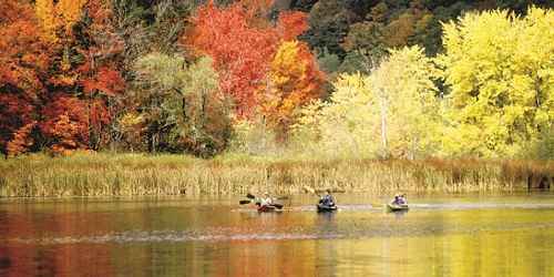
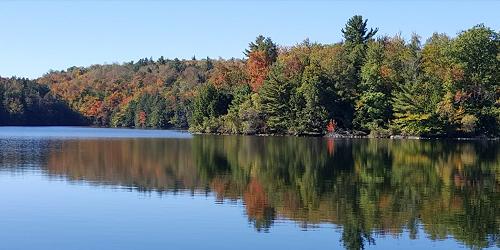
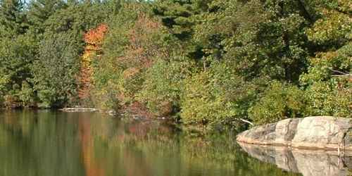
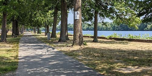
Massachusetts state and local parks are home to a huge range of activities, as different as salt-water fishing at the Cape Cod National Seashore to the hiking to summits with vast vistas into Vermont, New Hampshire, and New York from the mountainous parks of the Berkshires region. Some tell tales of the state's history, like at Minute Man National Park in the Merrimack region, where the Revolutionary War began. Activities from boating to cross-country skiing and all manner of sports in between give pleasure to families and children and people of all ages. The listings below are a selection from scores of state parks in the Bay State; many are not included. Visit the state parks website to read more.
Follow these links for : Sightseeing - Walking & Hiking - Science & Nature
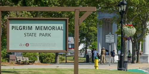
4 North Street Plymouth, MA, 02360 Phone: 508-747-0100 Toll-Free: 800-872-1620
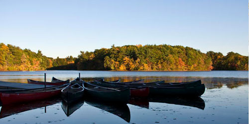
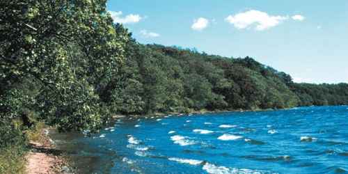
Plymouth’s plentiful parks offer everything from beaches to pondside camping
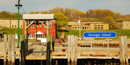
191w Atlantic Avenue Boston, MA, 02109 Phone: 617-223-8666
Islands in Boston Harbor, and easy ferry ride from downtown. Swimming, hiking, picnicking. A fun day trip
Dike Road - on Chappaquiddick Island Edgartown, MA, 02539 Phone: 508-627-7689
1199 Middle Road Clarksburg, MA, 01247 Phone: 413-664-8345

86 Winchendon Road Baldwinville, MA, 01436 Phone: 508-939-8962
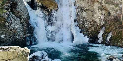
Falls Road Mount Washington, MA, 01258 Phone: 413-528-0330
164 Cedar Street Hopkinton, MA, 01748 Phone: 508-435-4303
York Lake Road Sandisfield, MA, 01255 Phone: 413-229-8212
194 Cranberry Road Carver, MA, 02330 Phone: 508-866-2526
133 Jenkins Road Andover, MA, 01810 Phone: 508-686-3391
Route 112 Huntington, MA, 01050 Phone: 413-354-6347
Good for paddling, hiking & walking; fishing; pets allowed except on beach area
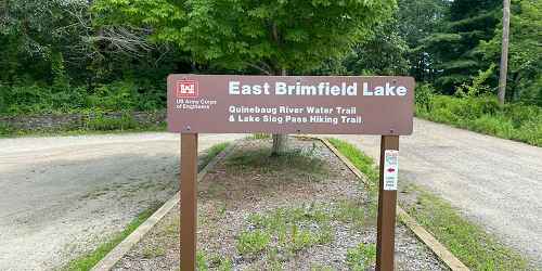
Route 20 and East Brimfield Holland Road East Brimfield, MA, 01010 Phone:
392 Montague Road Wendell, MA, 01379 Phone: 413-659-3797
43 Commonwealth Road Natick, MA, 01760 Phone: 508-653-9641
1048 North Road Westfield, MA, 01085 Phone: 413-532-3985
260 Central Shaft Road Florida, MA, 01247 Phone: 413-663-8469
1 Beach Road - Route 1A Salisbury, MA, 01952 Phone: 508-462-4481
Barnes Road Edgartown, MA, 02539 Phone: 508-693-2540
175 Mohawk Trail (MA Route 2) Charlemont, MA, 01339 Phone: 413-339-5504
Gott Avenue Rockport, MA, 01966 Phone: 508-546-2997
3488 Main Street - Route 6A Brewster, MA, 02631 Phone: 508-896-3491
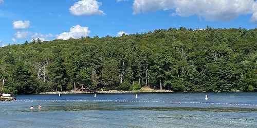
Inland park offers lots of camping; fresh water swimming, fishing and paddling; hiking and biking
107 Wallum Lake Road Douglas, MA, 01516 Phone: 508-476-7872
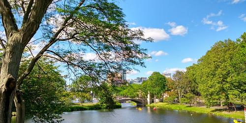
String of urban parks along Charles River offers walking, biking, paddling, boat ramps
2010 Day Blvd. South Boston, MA, 02127 Phone: 617-727-5290
Bayside string of parks and beaches easily accessible to Boston; walking, swimming, fishing
Series of parks and green spaces along Mystic River; accessible by MBTA trains; walking, biking, picnicking, swimming
40 Asbury Street Topsfield, MA, 01983 Phone: 508-887-5931
545 East Street Mount Washington, MA, 01258 Phone: 413-528-0330
1861 State Road - MA Route 3A Plymouth, MA, 02360 Phone: 508-866-2580
110 Slab Bridge Road Assonet, MA, 02702 Phone: 508-644-5522
South Sandwich Road Mashpee, MA, 02649 Phone: 508-636-4693
McCauley Road, off Route 8 North Adams, MA, 01247 Phone: 413-663-6392

30 Rockwell Road Lanesborough, MA, 01237 Phone: 413-499-4262

210 North Great Road Lincoln, MA, 01773 Phone: 978-369-6993
428 North Street Feeding Hills, MA, 01030 Phone: 413-786-2877
20 Scusset Beach Road Sagamore Beach, MA, 02562 Phone: 508-888-0859
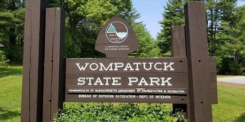
204 Union Street Hingham, MA, 02043 Phone: 617-895-8245
Popular for for camping, fishing, hiking. Some campsites have electricity.
90 Fitchburg Road - Route 31 Leominster, MA, 01420 Phone: 508-874-2303
MA Route 88 South to John Reed Road Westport, MA, 02790 Phone: 508-636-8816
159 Walker Pond Road Sturbridge, MA, 01566 Phone: 508-347-9257
86 Dearth Hill Road Brimfield, MA, 01010 Phone: 413-267-9687
289 Pearl Street Gardner, MA, 01440 Phone: 508-632-7897

74 Curzon Mill Road Newburyport, MA, 01950 Phone: 978-465-7223
69 Blue Hill Road Monterey, MA, 01245 Phone: 413-528-0904
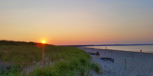
Various Locations Chatham to Provincetown, MA Phone: 508-255-3421
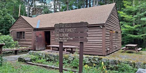
1041 Cascade Street Pittsfield, MA, 01201 Phone: 413-442-8992
Good for handicap-accessible recreation, fishing, walking & hiking.
136 Damon Road Northampton, MA, 01060 Phone: 413-586-8706

78 Cape Street - MA Route 112 Goshen, MA, 01032 Phone: 413-268-7098
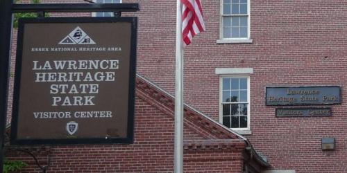
1 Jackson Street Lawrence, MA, 01840 Phone: 978-794-1655
20 Chester Road Chester, MA, 01008 Phone: 413-354-6347
West Street Petersham, MA, 01355 Phone: 978-544-3939
317 Woodland Road Lee, MA, 01238 Phone: 413-243-1778
410 Tolland Road East Otis, MA, 01029 Phone: 413-269-6002
177 Forest Street Saugus, MA, 01906 Phone: 781-233-0834
160 Pawtucket Boulevard Lowell, MA, 01854 Phone: 978-458-8750
570 Burnett Road Chicopee, MA, 01020 Phone: 413-594-9416